

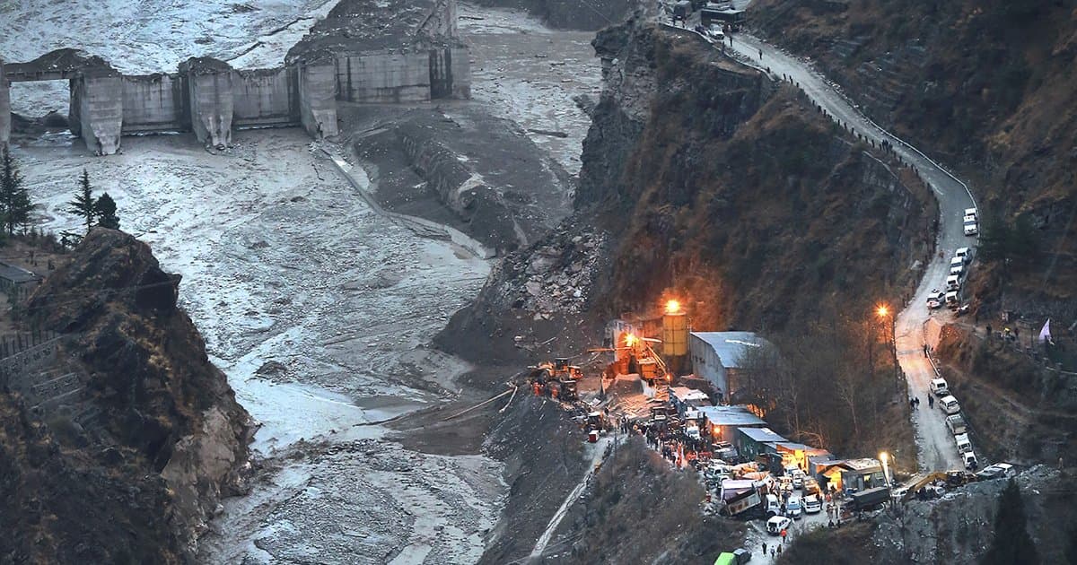
Kathmandu: When ground sensors shuddered along the Trishuli River basin at 8:37 am on Wednesday, early alerts pointed to a medium intensity earthquake triggering flash floods. Long period seismic wave analysis by the US Geological Survey later revealed a striking reality no earthquake had occurred. Instead, the magnitude 5.2 seismic signature was generated entirely by an enormous wall of ice and rock shearing off a high mountain glacier. The sheer impact velocity converted solid material into a hyper mobile debris flow that surged through the Lhende Khola.
"Climate change is generating conditions that can destabilise high mountain rock and ice," said Simon Cox, chief scientist at Earth Sciences New Zealand's Mountains to Sea programme, warning that such collapses and cascading hazards are becoming increasingly frequent.
The cascading wall of mud and rock destroyed power facilities, roads, and bridges, flattening the Gyirong Port border crossing. At least 165 people have been killed, with local officials fearing casualties will climb. Authorities confirmed on Thursday that nearly 1,500 people are missing across Nepal and China's Tibet region. Almost 800 foreigners are among the missing as search and rescue teams navigate buried valleys and severed transport corridors.
Scientists note the event underscores a dangerous monitoring gap: high altitude structural failures can masquerade as earthquakes on seismometers, confusing warning systems downstream while extreme warming destabilizes once solid alpine terrain.